Droylsden and Littlemoss
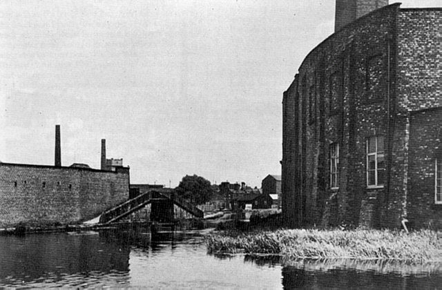
Fairfield Junction with the Ashton Canal, Droylsden, taken around 1950.
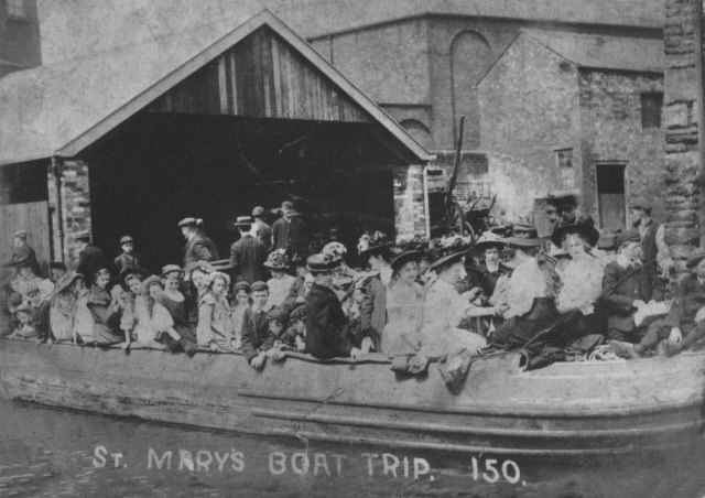
Boat excursion from St Mary's, loading in Droylsden. Date unknown.
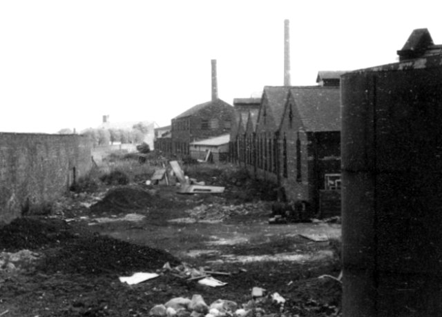
Looking north from Greenside Lane, Droylsden (1960s).
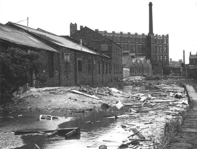
Looking south towards Greenside Lane, Droylsden. [Photo: Alan Jervis]
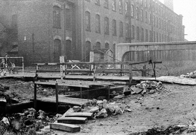
Clifford Swing Bridge, linking Medlock Street with Sunnyside Road, Droylsden. Albion Mill is in the background (1964). [Photo: Chris K. Potter Archive]

Looking south along the Hollinwood Branch towards Droylsden (from near Clough Road). On the left side of the canal can be seen Oakfield Mill, Saxon Mill and Albion Mill (1964). [Photo: Chris K. Potter Archive]
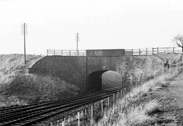
Littlemoss Aqueduct, carrying the Hollinwood Branch over the Victoria to Ashton railway line near Lumb Lane, Droylsden (1964). [Photo: Chris K. Potter Archive]
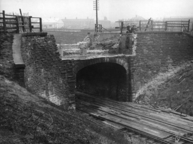
Littlemoss Aqueduct over the railway line, in the course of demolition (1964).
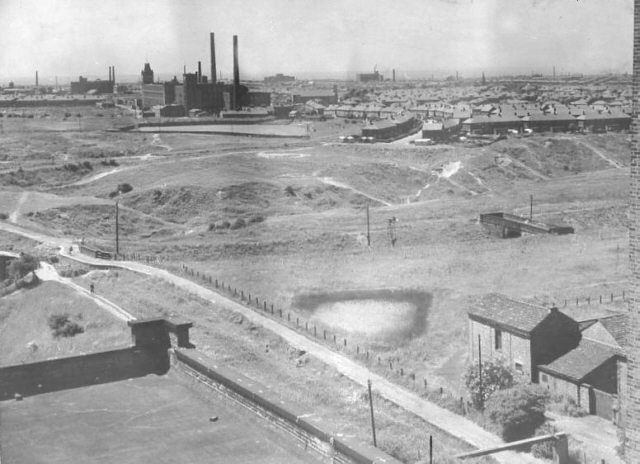
Looking south-west from Lumb Mill, Littlemoss, towards Droylsden. The aqueduct across the railway in on the left. [Photo: Garry Jones of Littlemoss]

Cinderland Bridge, Littlemoss. The dam and raised wash wall can be seen that held in water for the use of Lumb Mill (late 1960s). [Photo: Stephen Desmond]
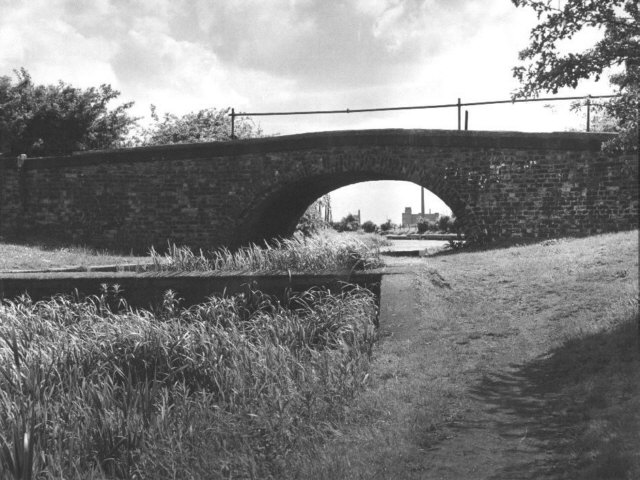
Cinderland Bridge, Littlemoss. The parapets have been raised since these photos were taken (early 1970s).
Go to next page: Daisy Nook
[Back to: Photo Gallery Index Page]
Photos credited to Chris K. Potter Archive: these may be freely reproduced subject to acknowledgement of "Chris K. Potter Archive" as source.
Other photos may not be reproduced without permission of the photographer or collector.
